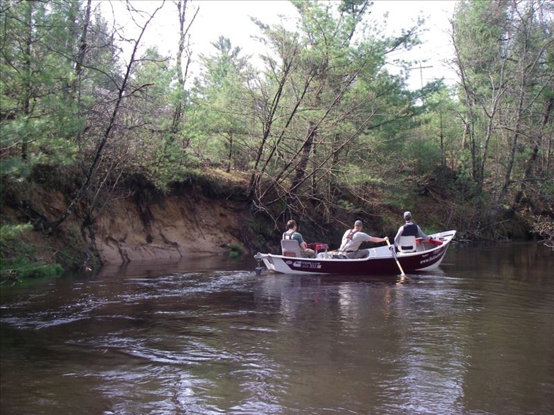
Stream Bank Erosion Site PM-01
Total Severity: Severe
Total Points: 32
Information collected by:
Pere Marquette River Watershed,
Pere Marquette River
Lake County
GPS Coordinates: 43.85918
, -85.85799
T17N
R13W
Sec 15
Owned by Private

2017
Bank Details
Which Bank? Left
Bank Aspect:NW
Condition:Both toe and upper bank eroding
Erosion Trend:Increasing
Percent Veg. Cover: 15%
Bank Conditions
Stream Width:30 ft.
Stream Depth:6 ft.
Stream Current:Fast
Eroded Bank Length:75 ft.
Eroded Bank Height:12 ft.
Slope of Eroded Bank:2:1
Texture: Sand
Cause(s) of Erosion
-Bend in river
-Foot traffic
Recommended Treatment(s)
-Bank revegetation
-Cover structure
General Information
Railroad tracks on top of bank
Total Points
32
�