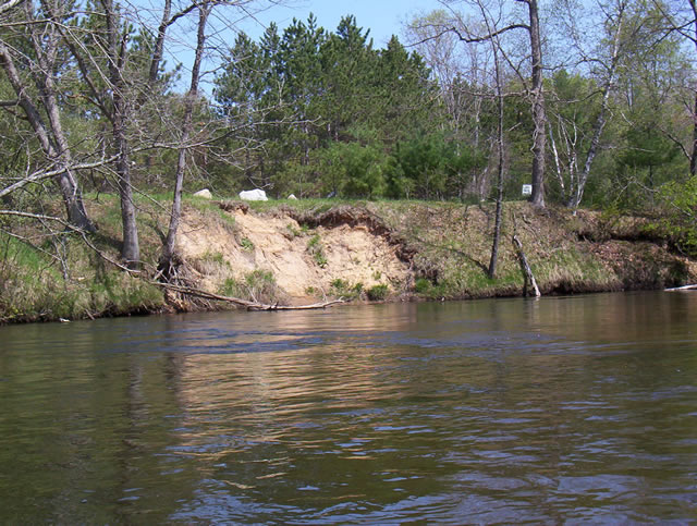
Stream Bank Erosion Site PM-16
Total Severity: Minor
Total Points: 27
Information collected by:
Pere Marquette River Watershed,
Pere Marquette River
Sweetwater Twp,
Lake County
GPS Coordinates: 43.92807
, -86.01958
T18N
R14W
Sec 29
Owned by Federal
Bank Details
Which Bank? Left
Bank Aspect:SE
Condition:Both toe and upper bank eroding
Erosion Trend:Increasing
Percent Veg. Cover: 50-100%
Bank Conditions
Stream Width:60 ft.
Stream Depth:2 ft.
Stream Current:Slow
Eroded Bank Length:30 ft.
Eroded Bank Height:12 ft.
Slope of Eroded Bank:3:1
Texture: Sand
Cause(s) of Erosion
-Foot traffic
Recommended Treatment(s)
-Bank revegetation
-Cover structure
-Constructed access
General Information
Total Points
27
�