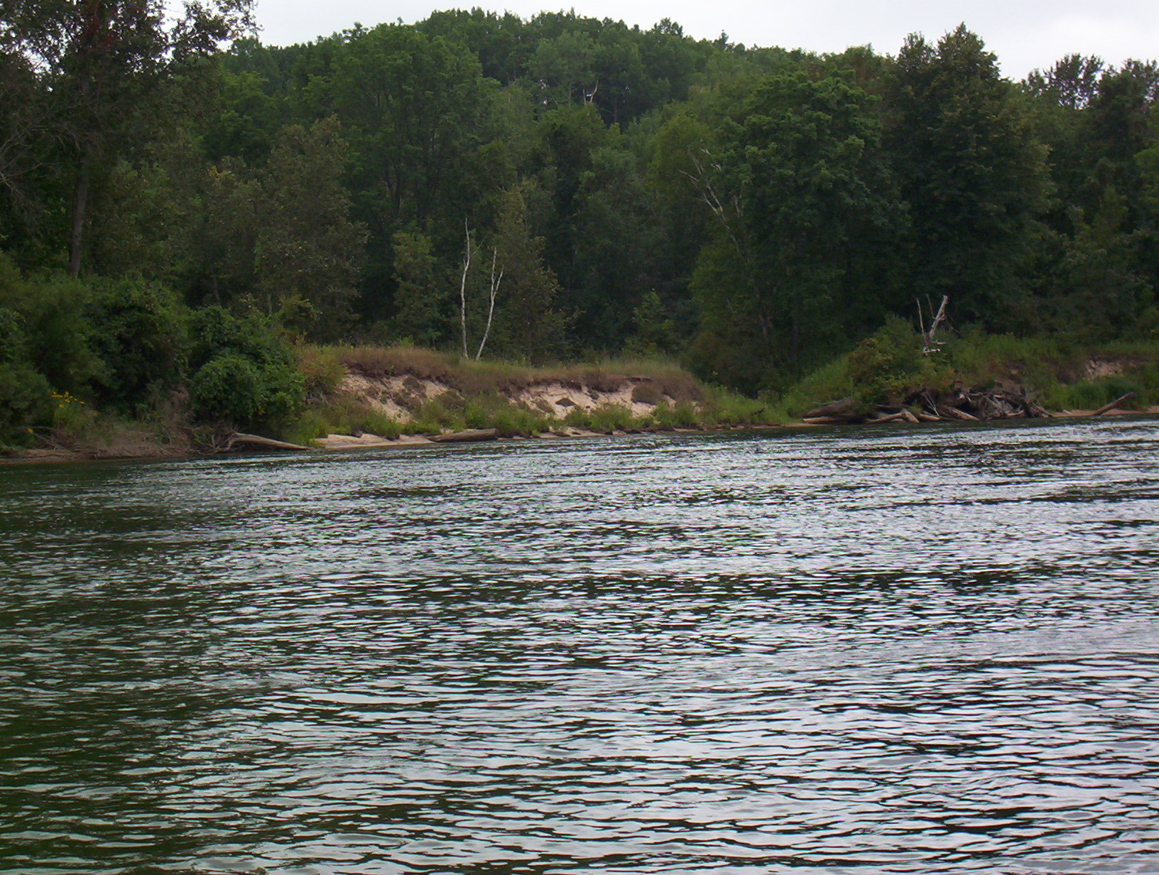
Stream Bank Erosion Site BGMN-094
Total Severity: Minor
Total Points: 29
Information collected by:
Big Manistee River Watershed,
Dickson Twp,
Manistee County
GPS Coordinates: 44.26872
, -86.01
T22N
R14W
Sec 28
Owned by Federal
Bank Details
Which Bank? Left
Bank Aspect:NW
Condition:Both toe and upper bank eroding
Erosion Trend:Increasing
Percent Veg. Cover: 50-100%
Bank Conditions
Stream Width:120 ft.
Stream Depth:2 ft.
Stream Current:Slow
Eroded Bank Length:50 ft.
Eroded Bank Height:25 ft.
Slope of Eroded Bank:3:1
Texture: Stratified
Cause(s) of Erosion
-Foot traffic
Recommended Treatment(s)
-Tree revetments
-Constructed access
General Information
Total Points
29
�