Stream Bank Erosion Site PM-010
Total Severity: Minor
Total Points: 21
Information collected by:
Pere Marquette River Watershed,
Big South Branch
Troy Twp,
Newaygo County
GPS Coordinates: 43.75725
, -85.97606
T16N
R14W
Sec 27
Owned by Federal
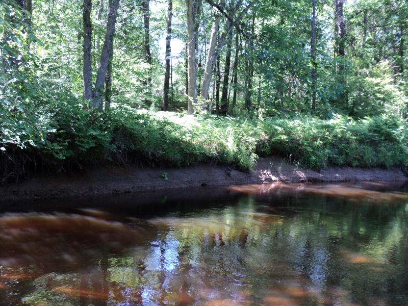
Bank Details
Which Bank? Left
Bank Aspect:E
Condition:Toe is undercutting
Erosion Trend:Stable
Percent Veg. Cover: 50-100%
Bank Conditions
Stream Width:25 ft.
Stream Depth:1 ft.
Stream Current:Slow
Eroded Bank Length:76 ft.
Eroded Bank Height:5 ft.
Slope of Eroded Bank:1:1
Texture: Clay
Cause(s) of Erosion
-Bend in river
Recommended Treatment(s)
-Rock riprap
-Tree revetments
General Information
Total Points
21
�