Stream Bank Erosion Site PM-012
Total Severity: Minor
Total Points: 27
Information collected by:
Pere Marquette River Watershed,
Big South Branch
Troy Twp,
Newaygo County
GPS Coordinates: 43.77367
, -85.9855
T16N
R14W
Sec 16
Owned by Federal
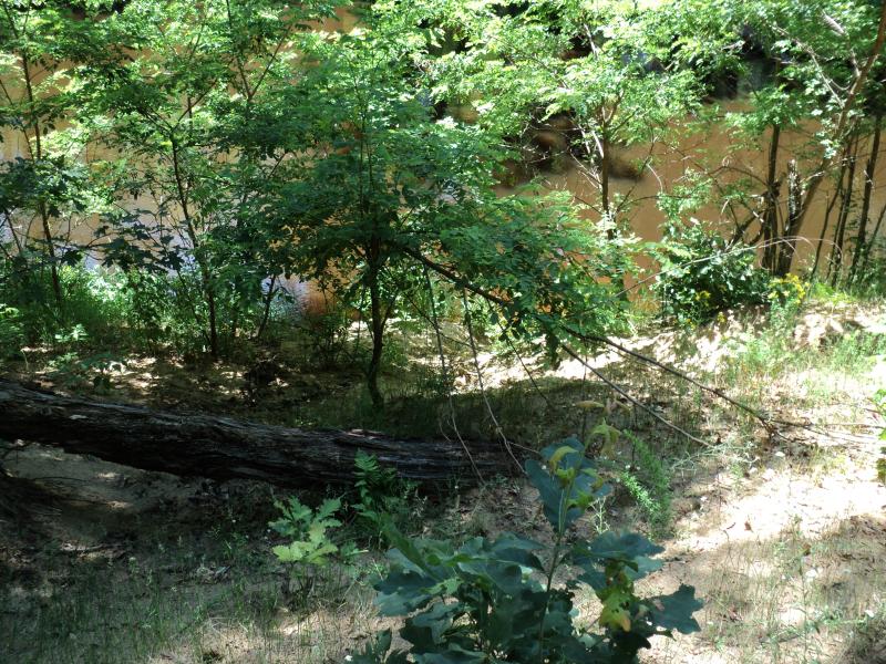
Bank Details
Which Bank? Right
Bank Aspect:SW
Condition:Toe is Stable, upper bank eroding
Erosion Trend:Increasing
Percent Veg. Cover: 50-100%
Bank Conditions
Stream Width:35 ft.
Stream Depth:2 ft.
Stream Current:Slow
Eroded Bank Length:78 ft.
Eroded Bank Height:21 ft.
Slope of Eroded Bank:3:1
Texture: Sand
Cause(s) of Erosion
-Foot traffic
Recommended Treatment(s)
-Bank revegetation
-Constructed access
General Information
BMPs Completed:
Rock riprap at toe. USA campsite, access off of Osborn ave. Forest Service road #6051.
Total Points
27
�