Stream Bank Erosion Site PM-016
Total Severity: Severe
Total Points: 35
Information collected by:
Pere Marquette River Watershed,
Big South Branch
Troy Twp,
Newaygo County
GPS Coordinates: 43.78436
, -86.00921
T16N
R14W
Sec 17
Owned by Private
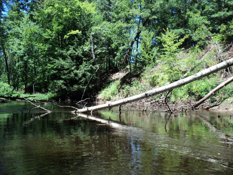
Bank Details
Which Bank? Right
Bank Aspect:S
Condition:Both toe and upper bank eroding
Erosion Trend:Increasing
Percent Veg. Cover: 50-100%
Bank Conditions
Stream Width:25 ft.
Stream Depth:3 ft.
Stream Current:Slow
Eroded Bank Length:85 ft.
Eroded Bank Height:21 ft.
Slope of Eroded Bank:1:1
Texture: Clay
Cause(s) of Erosion
-Bend in river
-Bank seepage
Recommended Treatment(s)
-Rock riprap
-Tree revetments
General Information
BMPs Completed:
Owners very interested in stabilizing bank. Owners stated that they have lost a lot of bank over the years.
Total Points
35
�