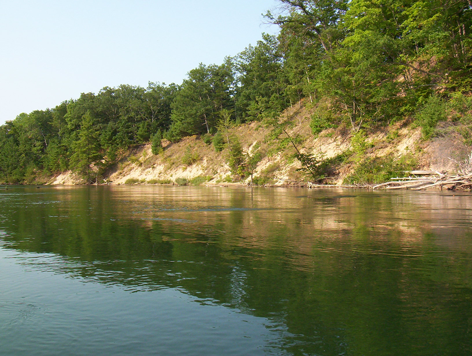
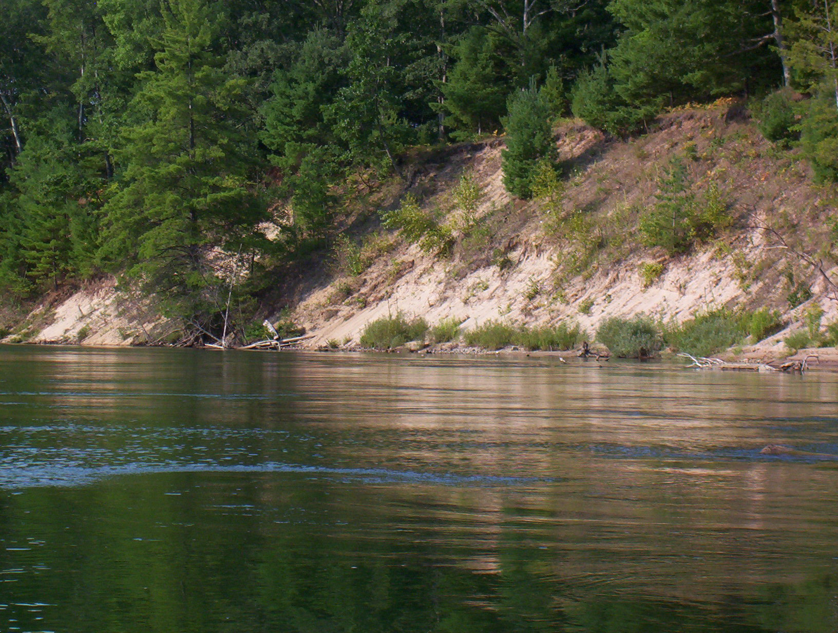
Stream Bank Erosion Site BGMN-097
Total Severity: Minor
Total Points: 26
Information collected by:
Big Manistee River Watershed,
Dickson Twp,
Manistee County
GPS Coordinates: 44.26714
, -86.03069
T22N
R14W
Sec 32
Owned by Federal
Bank Details
Which Bank? Right
Bank Aspect:E
Condition:Toe is stable; upper bank eroding
Erosion Trend:Stable
Percent Veg. Cover: 50-100%
Bank Conditions
Stream Width:90 ft.
Stream Depth:5 ft.
Stream Current:Slow
Eroded Bank Length:320 ft.
Eroded Bank Height:60 ft.
Slope of Eroded Bank:3:1
Texture: Sand
Cause(s) of Erosion
-Bend in river
Recommended Treatment(s)
-Bank revegetation
-Tree revetments
General Information
Total Points
26
�