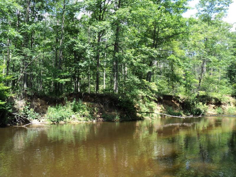
Stream Bank Erosion Site PM-039
Total Severity: Moderate
Total Points: 30
Information collected by:
Pere Marquette River Watershed,
Big South Branch
Logan Twp,
Mason County
GPS Coordinates: 43.83039
, -86.08404
T17N
R15W
Sec 34
Owned by Private
Bank Details
Which Bank? Left
Bank Aspect:S
Condition:Toe is Stable, upper bank eroding
Erosion Trend:Increasing
Percent Veg. Cover: 10-50%
Bank Conditions
Stream Width:45 ft.
Stream Depth:3 ft.
Stream Current:Fast
Eroded Bank Length:105 ft.
Eroded Bank Height:9 ft.
Slope of Eroded Bank:1:1
Texture: Sand
Cause(s) of Erosion
-Bend in river
Recommended Treatment(s)
-Bank revegetation
-Rock riprap
-Tree revetments
General Information
Total Points
30
�