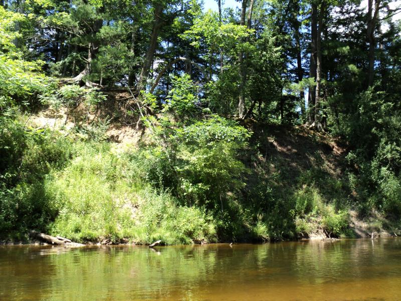
Stream Bank Erosion Site PM-056
Total Severity: Minor
Total Points: 25
Information collected by:
Pere Marquette River Watershed,
Big South Branch
Logan Twp,
Mason County
GPS Coordinates: 43.86712
, -86.07755
T17N
R15W
Sec 14
Owned by Federal
Bank Details
Which Bank? Left
Bank Aspect:NW
Condition:Toe is Stable, upper bank eroding
Erosion Trend:Stable
Percent Veg. Cover: 50-100%
Bank Conditions
Stream Width:35 ft.
Stream Depth:1 ft.
Stream Current:Slow
Eroded Bank Length:150 ft.
Eroded Bank Height:22 ft.
Slope of Eroded Bank:2:1
Texture: Sand
Cause(s) of Erosion
Recommended Treatment(s)
-Bank revegetation
-Rock riprap
General Information
BMPs Completed:
Owner could be USA or private, location close to border line.
Total Points
25
�