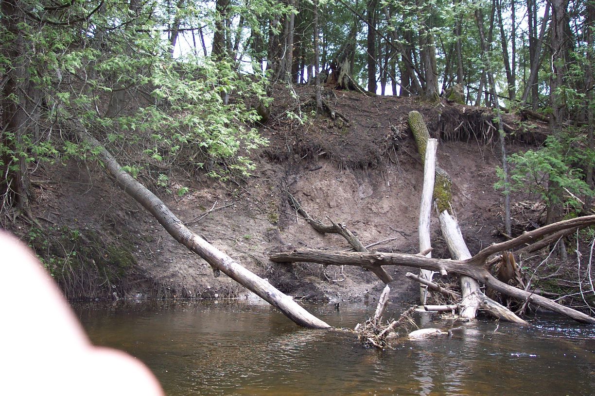
Stream Bank Erosion Site pine-002
Total Severity: Severe
Total Points: 37
Information collected by:
Pine River Watershed,
Leroy Twp,
Osceola County
GPS Coordinates: 44.0722433
, -85.53782728
T19N
R10W
Sec 5
Owned by State
Bank Details
Which Bank? Left
Bank Aspect:E
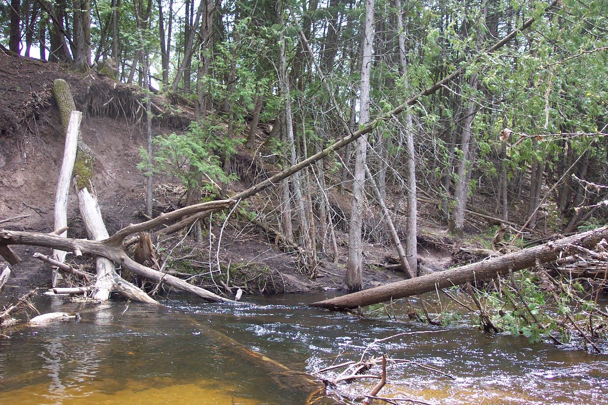
Condition:Both toe and upper bank eroding
Erosion Trend:Increasing
Percent Veg. Cover: 0-10%
Bank Conditions
Stream Width:25 ft.
Stream Depth:2 ft.
Stream Current:Fast
Eroded Bank Length:60 ft.
Eroded Bank Height:20 ft.
Slope of Eroded Bank:3:1
Texture: Clay
Cause(s) of Erosion
-Bend in river
-Bank seepage
Recommended Treatment(s)
Other Treatments:no action
General Information
Total Points
37
�