Stream Bank Erosion Site pine-010
Total Severity: Moderate
Total Points: 27
Information collected by:
Pine River Watershed,
Ellsworth Twp,
Lake County
GPS Coordinates: 44.0609013
, -85.58630912
T19N
R11W
Sec 2
Owned by State
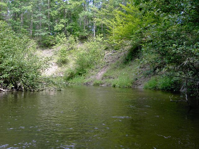
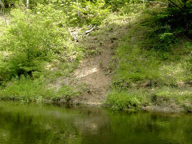
Bank Details
Which Bank? Right
Bank Aspect:S
Condition:Toe is stable; upper bank eroding
Erosion Trend:Increasing
Percent Veg. Cover: 50-100%
Bank Conditions
Stream Width:35 ft.
Stream Depth:3 ft.
Stream Current:Slow
Eroded Bank Length:80 ft.
Eroded Bank Height:25 ft.
Slope of Eroded Bank:3:1
Texture: Clay
Cause(s) of Erosion
-Bend in river
Recommended Treatment(s)
Other Treatments:no action
General Information
Total Points
27
�