Stream Bank Erosion Site pine-011
Total Severity: Minor
Total Points: 21
Information collected by:
Pine River Watershed,
Ellsworth Twp,
Lake County
GPS Coordinates: 44.06327028
, -85.59093064
T19N
R11W
Sec 2
Owned by State
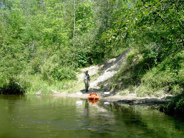
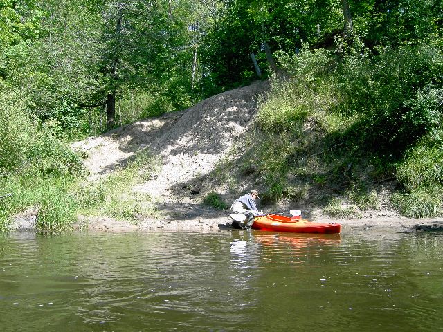
Bank Details
Which Bank? Right
Bank Aspect:SW
Condition:Toe is stable; upper bank eroding
Erosion Trend:Stable
Percent Veg. Cover: 10-50%
Bank Conditions
Stream Width:25 ft.
Stream Depth:3 ft.
Stream Current:Fast
Eroded Bank Length:25 ft.
Eroded Bank Height:15 ft.
Slope of Eroded Bank:2:1
Texture: Clay
Cause(s) of Erosion
-Foot traffic
Recommended Treatment(s)
-Constructed access
General Information
Total Points
21
�