Stream Bank Erosion Site pine-014
Total Severity: Minor
Total Points: 27
Information collected by:
Pine River Watershed,
Ellsworth Twp,
Lake County
GPS Coordinates: 44.06757204
, -85.60656023
T19N
R11W
Sec 3
Owned by State
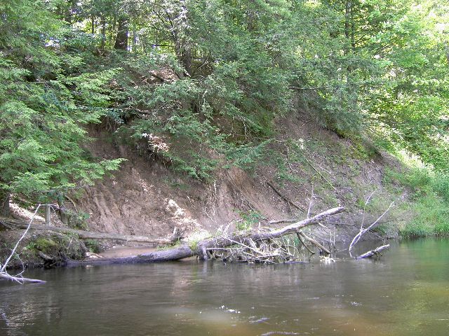
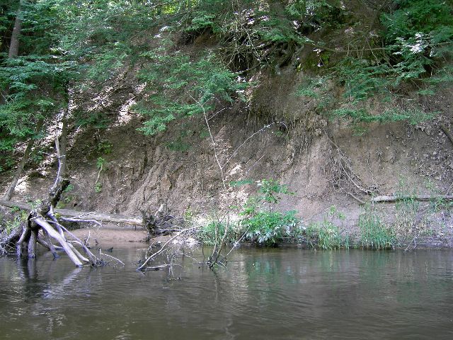
Bank Details
Which Bank? Left
Bank Aspect:NW
Condition:Both toe and upper bank eroding
Erosion Trend:Stable
Percent Veg. Cover: 50-100%
Bank Conditions
Stream Width:35 ft.
Stream Depth:2 ft.
Stream Current:Slow
Eroded Bank Length:35 ft.
Eroded Bank Height:25 ft.
Slope of Eroded Bank:4:1 or greater
Texture: Clay
Cause(s) of Erosion
-Bend in river
Recommended Treatment(s)
-Bank revegetation
-Rock riprap
-Tree revetments
General Information
Total Points
27
�