Stream Bank Erosion Site pine-021
Total Severity: Severe
Total Points: 36
Information collected by:
Pine River Watershed,
Dover Twp,
Lake County
GPS Coordinates: 44.07499401
, -85.63694808
T20N
R11W
Sec 33
Owned by Private
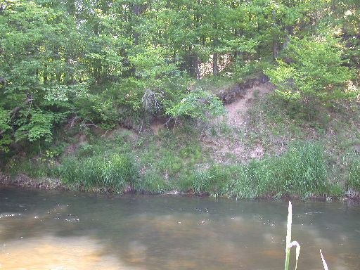
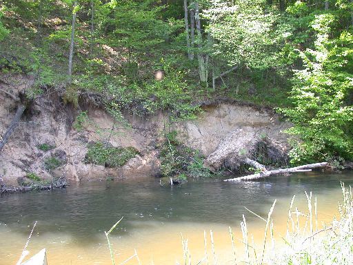
Bank Details
Which Bank? Left
Bank Aspect:NE
Condition:Toe is undercutting
Erosion Trend:Increasing
Percent Veg. Cover: 10-50%
Bank Conditions
Stream Width:25 ft.
Stream Depth:4 ft.
Stream Current:Slow
Eroded Bank Length:80 ft.
Eroded Bank Height:20 ft.
Slope of Eroded Bank:4:1 or greater
Texture: Sand
Cause(s) of Erosion
-Bend in river
Recommended Treatment(s)
-Tree revetments
General Information
Total Points
36
�