Stream Bank Erosion Site pine-023
Total Severity: Moderate
Total Points: 31
Information collected by:
Pine River Watershed,
Dover Twp,
Lake County
GPS Coordinates: 44.08392199
, -85.65237145
T20N
R11W
Sec 32
Owned by State
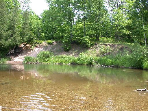
Bank Details
Which Bank? Left
Bank Aspect:NW
Condition:Toe is stable; upper bank eroding
Erosion Trend:Increasing
Percent Veg. Cover: 10-50%
Bank Conditions
Stream Width:60 ft.
Stream Depth:2 ft.
Stream Current:Slow
Eroded Bank Length:175 ft.
Eroded Bank Height:15 ft.
Slope of Eroded Bank:4:1 or greater
Texture: Sand
Cause(s) of Erosion
-Bend in river
-Foot traffic
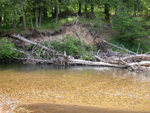
Recommended Treatment(s)
Other Treatments:wood up top
General Information
Total Points
31
�