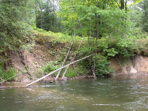
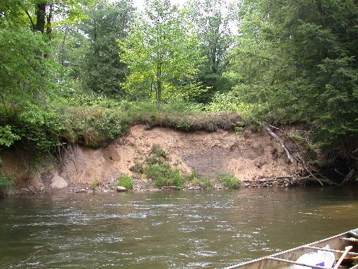
Stream Bank Erosion Site pine-029
Total Severity: Moderate
Total Points: 31
Information collected by:
Pine River Watershed,
Dover Twp,
Lake County
GPS Coordinates: 44.10178024
, -85.66832802
T20N
R11W
Sec 30
Owned by Private
Bank Details
Which Bank? Left
Bank Aspect:NE
Condition:Both toe and upper bank eroding
Erosion Trend:Stable
Percent Veg. Cover: 10-50%
Bank Conditions
Stream Width:40 ft.
Stream Depth:3 ft.
Stream Current:Fast
Eroded Bank Length:50 ft.
Eroded Bank Height:15 ft.
Slope of Eroded Bank:4:1 or greater
Texture: Sand
Clay
Clay
Cause(s) of Erosion
-Bend in river
Recommended Treatment(s)
Other Treatments:no action
General Information
Total Points
31
�