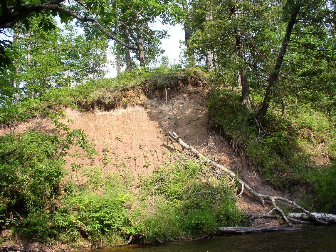
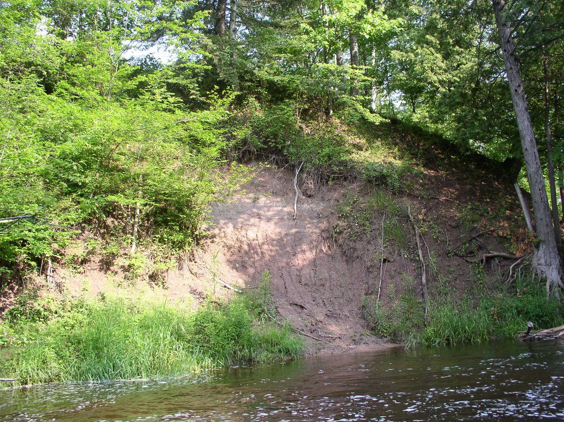
Stream Bank Erosion Site pine-034
Total Severity: Moderate
Total Points: 25
Information collected by:
Pine River Watershed,
New Newkirk Twp,
Lake County
GPS Coordinates: 44.13328214
, -85.69596852
T20N
R12W
Sec 12
Owned by State
Bank Details
Which Bank? Left
Bank Aspect:W
Condition:Both toe and upper bank eroding
Erosion Trend:Increasing
Percent Veg. Cover: 50-100%
Bank Conditions
Stream Width:1 ft.
Stream Depth:1 ft.
Stream Current:Slow
Eroded Bank Length:25 ft.
Eroded Bank Height:18 ft.
Slope of Eroded Bank:3:1
Texture: Clay
Cause(s) of Erosion
Other causes: high water
Recommended Treatment(s)
Other Treatments:no action
General Information
Total Points
25
�