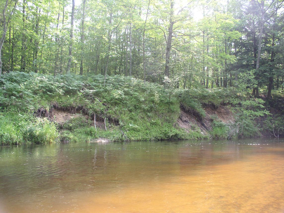
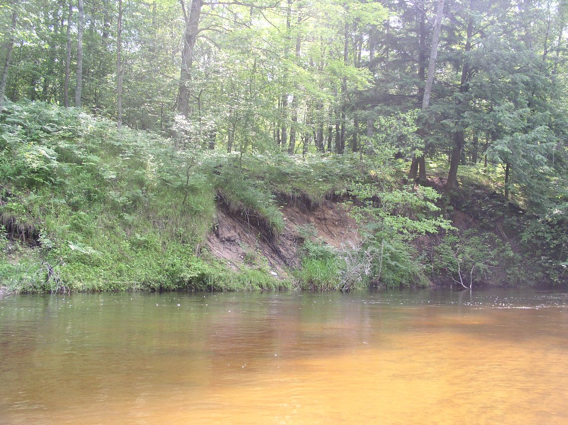
Stream Bank Erosion Site pine-037
Total Severity: Minor
Total Points: 24
Information collected by:
Pine River Watershed,
North Newkirk Twp,
Lake County
GPS Coordinates: 44.14704555
, -85.70790982
T20N
R12W
Sec 2
Owned by Federal
Bank Details
Which Bank? Right
Bank Aspect:E
Condition:Toe is stable; upper bank eroding
Erosion Trend:Increasing
Percent Veg. Cover: 50-100%
Bank Conditions
Stream Width:40 ft.
Stream Depth:4 ft.
Stream Current:Slow
Eroded Bank Length:25 ft.
Eroded Bank Height:15 ft.
Slope of Eroded Bank:3:1
Texture: Sand
Cause(s) of Erosion
Other causes: slump high water
Recommended Treatment(s)
Other Treatments:no action
General Information
Total Points
24
�