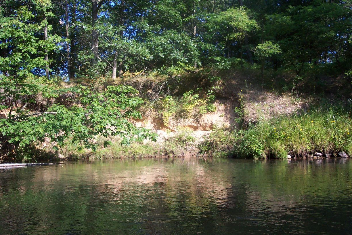
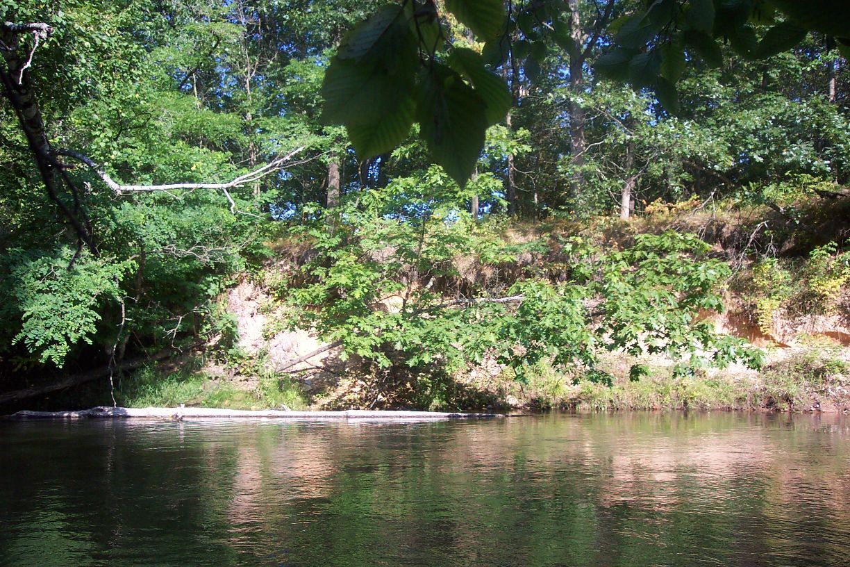
Stream Bank Erosion Site pine-038
Total Severity: Moderate
Total Points: 30
Information collected by:
Pine River Watershed,
North Newkirk Twp,
Lake County
GPS Coordinates: 44.15455318
, -85.72174042
T20N
R12W
Sec 2
Owned by Federal
Bank Details
Which Bank? Right
Bank Aspect:SE
Condition:Both toe and upper bank eroding
Erosion Trend:Increasing
Percent Veg. Cover: 10-50%
Bank Conditions
Stream Width:45 ft.
Stream Depth:2 ft.
Stream Current:Slow
Eroded Bank Length:40 ft.
Eroded Bank Height:10 ft.
Slope of Eroded Bank:4:1 or greater
Texture: Sand
Cause(s) of Erosion
-Obstructions in river
Recommended Treatment(s)
-Rock riprap
-Tree revetments
Other Treatments:fieldstone
General Information
Total Points
30
�