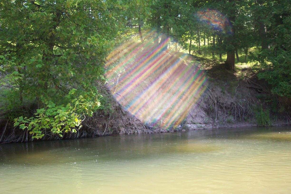
Stream Bank Erosion Site pine-041
Total Severity: Minor
Total Points: 28
Information collected by:
Pine River Watershed,
North Newkirk Twp,
Lake County
GPS Coordinates: 44.16191182
, -85.74017609
T20N
R12W
Sec 3
Owned by Federal
Bank Details
Which Bank? Right
Bank Aspect:S
Condition:Toe is undercutting
Erosion Trend:Increasing
Percent Veg. Cover: 50-100%
Bank Conditions
Stream Width:35 ft.
Stream Depth:3 ft.
Stream Current:Fast
Eroded Bank Length:200 ft.
Eroded Bank Height:10 ft.
Slope of Eroded Bank:3:1
Texture: Clay
Cause(s) of Erosion
-Bend in river
Recommended Treatment(s)
-Rock riprap
-Tree revetments
General Information
Total Points
28
�