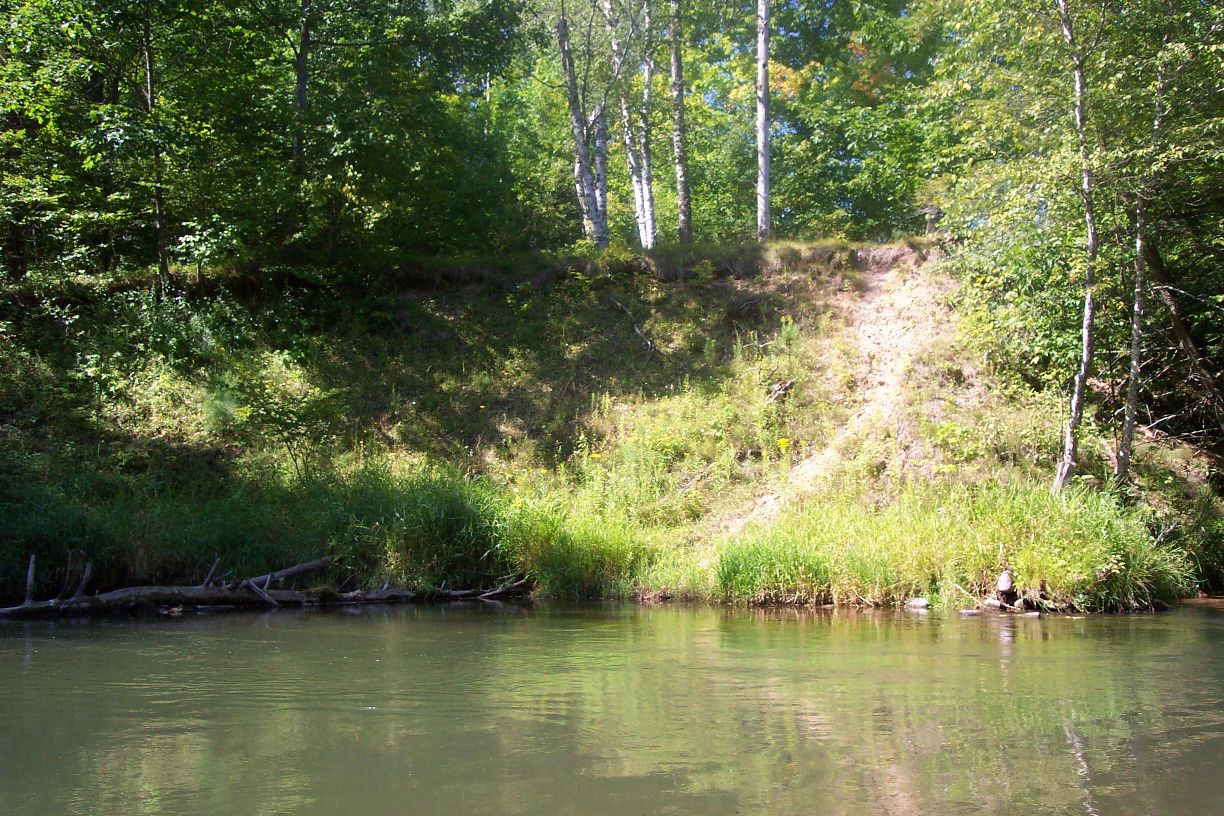
Stream Bank Erosion Site pine-044
Total Severity: Moderate
Total Points: 30
Information collected by:
Pine River Watershed,
South Branch Twp,
Wexford County
GPS Coordinates: 44.16774857
, -85.74833455
T21N
R12W
Sec 34
Owned by Federal
Bank Details
Which Bank? Left
Bank Aspect:N
Condition:Both toe and upper bank eroding
Erosion Trend:Increasing
Percent Veg. Cover: 10-50%
Bank Conditions
Stream Width:30 ft.
Stream Depth:1 ft.
Stream Current:Slow
Eroded Bank Length:25 ft.
Eroded Bank Height:15 ft.
Slope of Eroded Bank:2:1
Texture: Sand
Cause(s) of Erosion
-Bend in river
Recommended Treatment(s)
-Tree revetments
General Information
Total Points
30
�