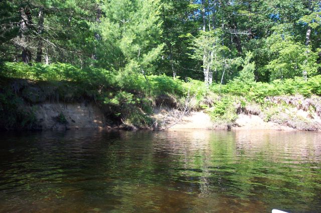
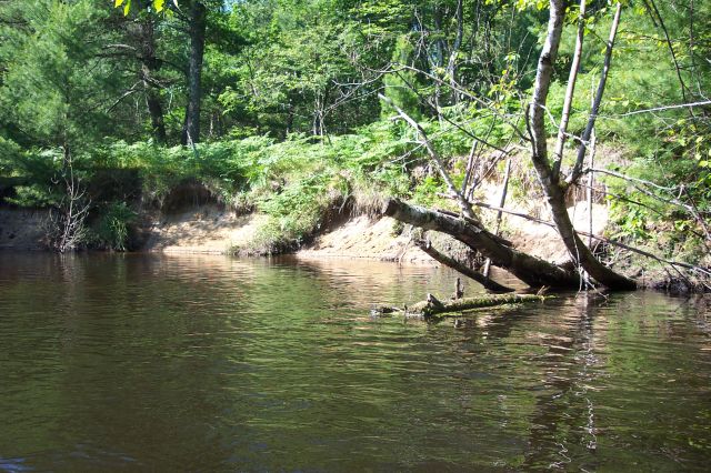
Stream Bank Erosion Site BSR-06
Total Severity: Minor
Total Points: 24
Information collected by:
Big Sable River Watershed,
Sheridan Twp,
Mason County
GPS Coordinates: 44.07484
, -86.09467
T19N
R15W
Sec 3
Owned by Federal
Bank Details
Which Bank? Left
Bank Aspect:NE
Condition:Toe is stable; upper bank eroding
Erosion Trend:Increasing
Percent Veg. Cover: 10-50%
Bank Conditions
Stream Width:30 ft.
Stream Depth:3 ft.
Stream Current:Slow
Eroded Bank Length:50 ft.
Eroded Bank Height:6 ft.
Slope of Eroded Bank:3:1
Texture: Sand
Cause(s) of Erosion
-Bank seepage
Recommended Treatment(s)
-Bank revegetation
-Rock riprap
General Information
Total Points
24
�