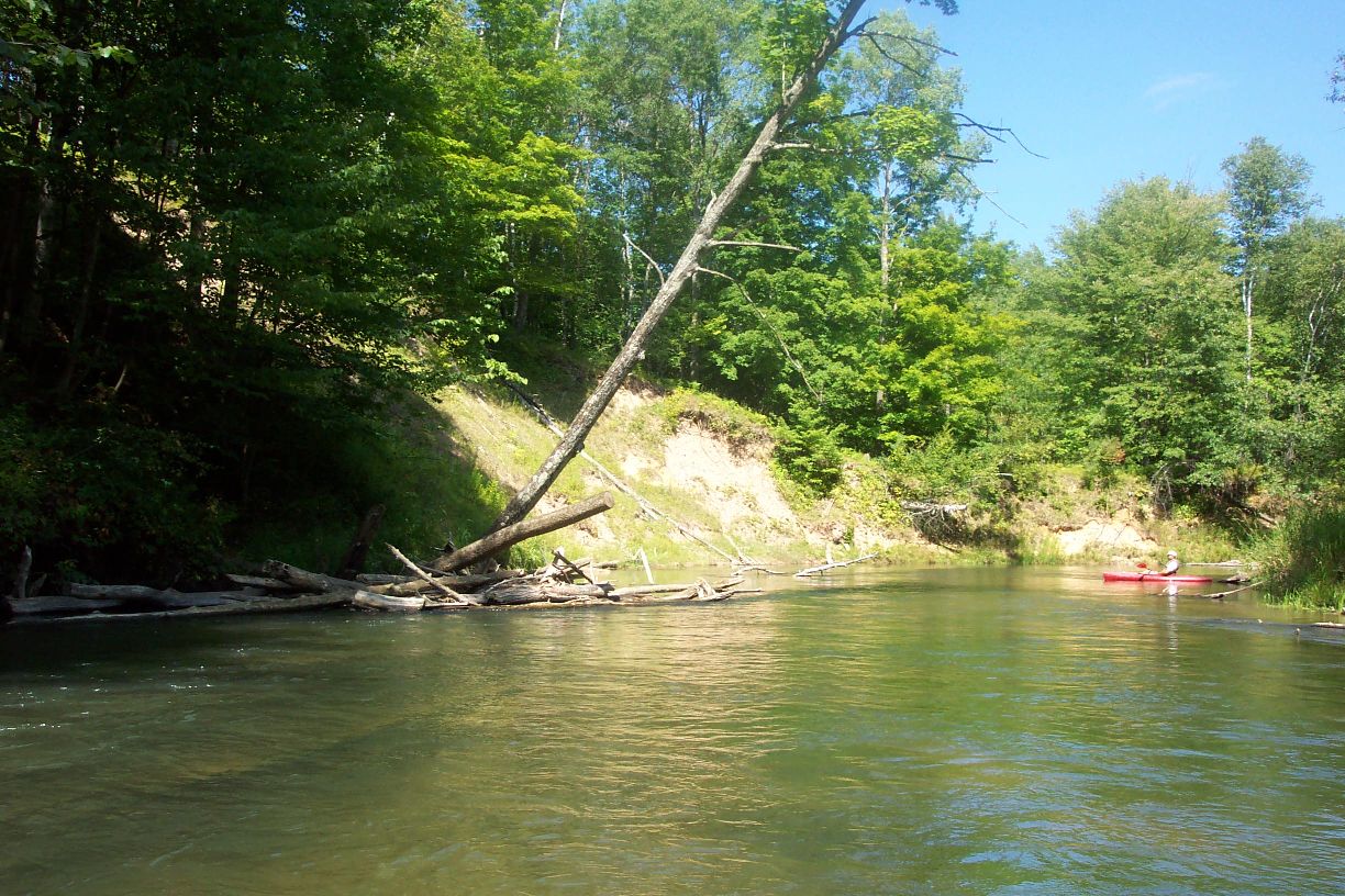
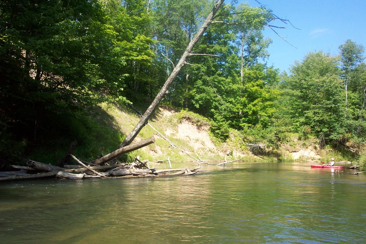
Stream Bank Erosion Site pine-048
Total Severity: Minor
Total Points: 29
Information collected by:
Pine River Watershed,
South Branch Twp,
Wexford County
GPS Coordinates: 44.1702025
, -85.75156049
T21N
R12W
Sec 34
Owned by Federal
Bank Details
Which Bank? Left
Bank Aspect:E
Condition:Toe is stable; upper bank eroding
Erosion Trend:Increasing
Percent Veg. Cover: 50-100%
Bank Conditions
Stream Width:45 ft.
Stream Depth:2 ft.
Stream Current:Slow
Eroded Bank Length:120 ft.
Eroded Bank Height:25 ft.
Slope of Eroded Bank:4:1 or greater
Texture: Clay
Cause(s) of Erosion
-Bend in river
Recommended Treatment(s)
-Bank revegetation
General Information
Total Points
29
�