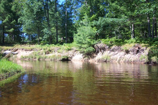
Stream Bank Erosion Site BSR-08
Total Severity: Moderate
Total Points: 30
Information collected by:
Big Sable River Watershed,
Meade Twp,
Mason County
GPS Coordinates: 44.07693
, -86.09995
T20N
R15W
Sec 33
Owned by Private
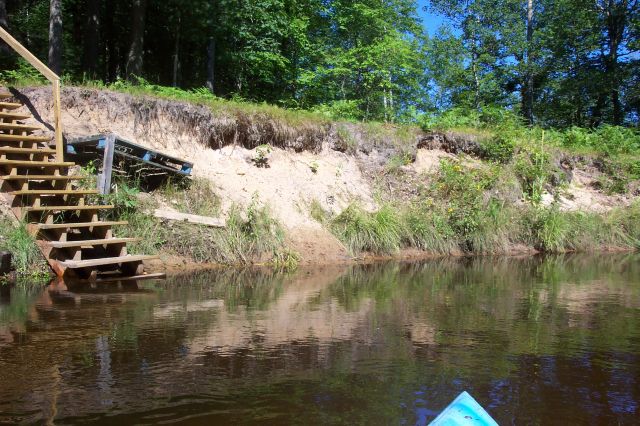
Bank Details
Which Bank? Left
Bank Aspect:NE
Condition:Both toe and upper bank eroding
Erosion Trend:Increasing
Percent Veg. Cover: 10-50%
Bank Conditions
Stream Width:30 ft.
Stream Depth:2 ft.
Stream Current:Slow
Eroded Bank Length:100 ft.
Eroded Bank Height:8 ft.
Slope of Eroded Bank:3:1
Texture: Sand
Cause(s) of Erosion
-Bank seepage
-Foot traffic
Recommended Treatment(s)
-Bank revegetation
-Cover structure
-Tree revetments
General Information
Stairs built down to river
Total Points
30
�