Stream Bank Erosion Site BSR-09
Total Severity: Minor
Total Points: 26
Information collected by:
Big Sable River Watershed,
Meade Twp,
Mason County
GPS Coordinates: 44.07932
, -86.10146
T20N
R15W
Sec 33
Owned by Federal
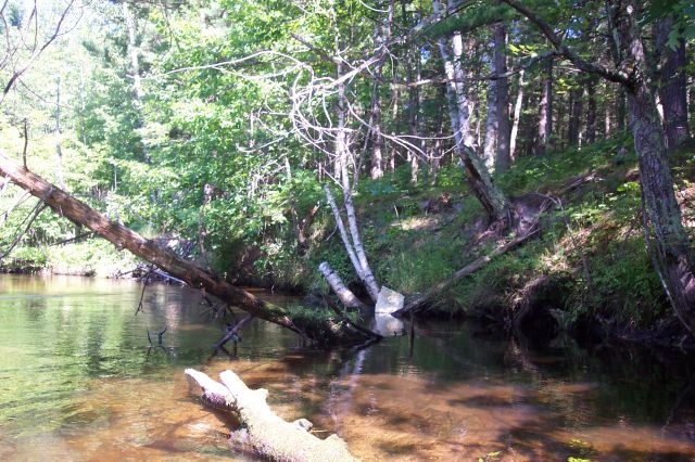
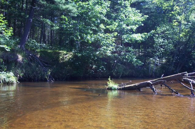
Bank Details
Which Bank? Right
Bank Aspect:SE
Condition:Both toe and upper bank eroding
Erosion Trend:Stable
Percent Veg. Cover: 50-100%
Bank Conditions
Stream Width:50 ft.
Stream Depth:1 ft.
Stream Current:Slow
Eroded Bank Length:60 ft.
Eroded Bank Height:15 ft.
Slope of Eroded Bank:2:1
Texture: Sand
Cause(s) of Erosion
-Obstructions in river
-Bank seepage
Recommended Treatment(s)
-Obstruction removal
-Rock riprap
General Information
Total Points
26
�