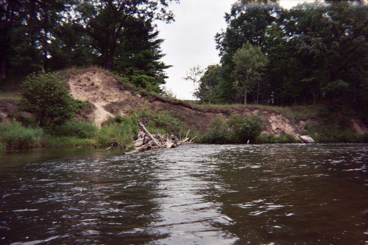
Stream Bank Erosion Site pine-080
Total Severity: Minor
Total Points: 23
Information collected by:
Pine River Watershed,
South Branch Twp,
Wexford County
GPS Coordinates: 44.20307018
, -85.81003564
T21N
R12W
Sec 19
Owned by Federal
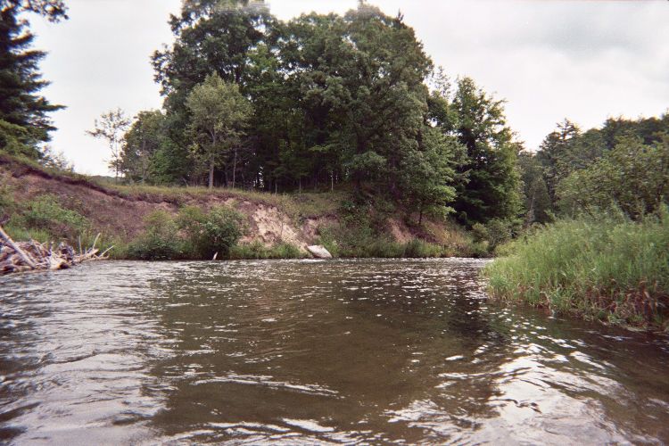
Bank Details
Which Bank? Right
Bank Aspect:S
Condition:Toe is stable; upper bank eroding
Erosion Trend:Stable
Percent Veg. Cover: 50-100%
Bank Conditions
Stream Width:50 ft.
Stream Depth:4 ft.
Stream Current:Fast
Eroded Bank Length:200 ft.
Eroded Bank Height:15 ft.
Slope of Eroded Bank:1:1
Texture: Sand
Cause(s) of Erosion
-Bend in river
Recommended Treatment(s)
Other Treatments:none at this time
General Information
Total Points
23
�