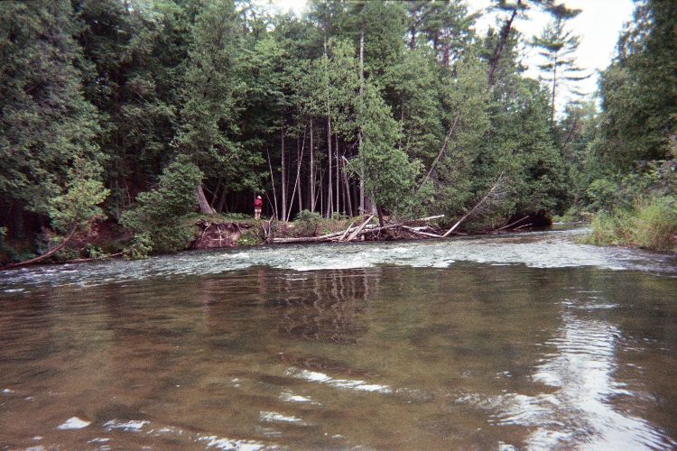
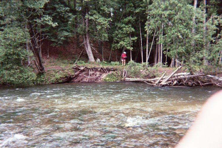
Stream Bank Erosion Site pine-091
Total Severity: Moderate
Total Points: 31
Information collected by:
Pine River Watershed,
East Norman Twp,
Manistee County
GPS Coordinates: 44.20321771
, -85.82570454
T21N
R13W
Sec 24
Owned by Federal
Bank Details
Which Bank? Left
Bank Aspect:N
Condition:Toe is undercutting
Erosion Trend:Increasing
Percent Veg. Cover: 50-100%
Bank Conditions
Stream Width:50 ft.
Stream Depth:6 ft.
Stream Current:Fast
Eroded Bank Length:100 ft.
Eroded Bank Height:6 ft.
Slope of Eroded Bank:4:1 or greater
Texture: Sand
Gravel
Gravel
Cause(s) of Erosion
-Bend in river
Other causes: minor conditions that could get worse with time
Recommended Treatment(s)
-Rock riprap
General Information
Total Points
31
�