Stream Bank Erosion Site pine-093
Total Severity: Minor
Total Points: 28
Information collected by:
Pine River Watershed,
East Norman Twp,
Manistee County
GPS Coordinates: 44.20150706
, -85.82871023
T21N
R12W
Sec 24
Owned by Federal
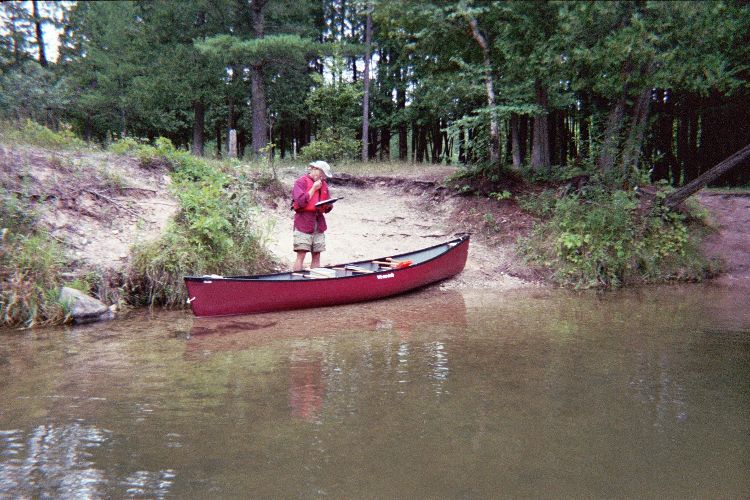
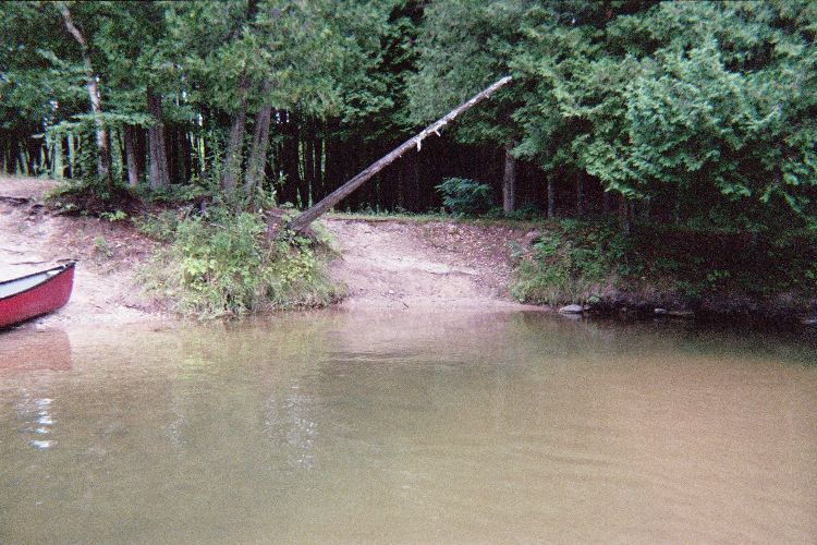
Bank Details
Which Bank? Left
Bank Aspect:SW
Condition:Both toe and upper bank eroding
Erosion Trend:Increasing
Percent Veg. Cover: 0-10%
Bank Conditions
Stream Width:70 ft.
Stream Depth:6 ft.
Stream Current:Fast
Eroded Bank Length:40 ft.
Eroded Bank Height:6 ft.
Slope of Eroded Bank:1:1
Texture: Gravel
Cause(s) of Erosion
-Foot traffic
Recommended Treatment(s)
Other Treatments:toe log and terrace. This will remain a canoe pul
General Information
Total Points
28
�