Stream Bank Erosion Site pine-094
Total Severity: Minor
Total Points: 26
Information collected by:
Pine River Watershed,
East Norman Twp,
Manistee County
GPS Coordinates: 44.19940523
, -85.83009206
T21N
R13W
Sec 24
Owned by Federal
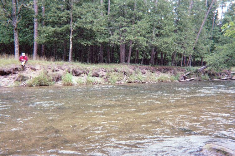
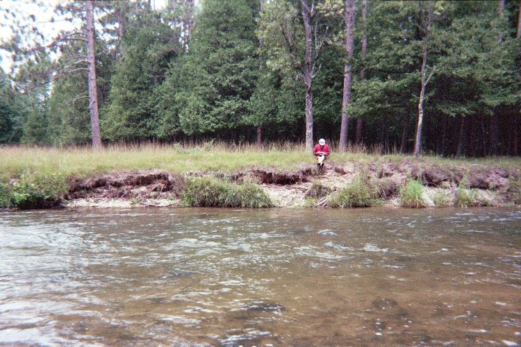
Bank Details
Which Bank? Right
Bank Aspect:SE
Condition:Toe is stable; upper bank eroding
Erosion Trend:Stable
Percent Veg. Cover: 10-50%
Bank Conditions
Stream Width:60 ft.
Stream Depth:3 ft.
Stream Current:Fast
Eroded Bank Length:100 ft.
Eroded Bank Height:5 ft.
Slope of Eroded Bank:4:1 or greater
Texture: Sand
Gravel
Gravel
Cause(s) of Erosion
Other causes: steep bank affected by high water events
Recommended Treatment(s)
-Rock riprap
Other Treatments:future riprap may be necessary.
General Information
Total Points
26
�