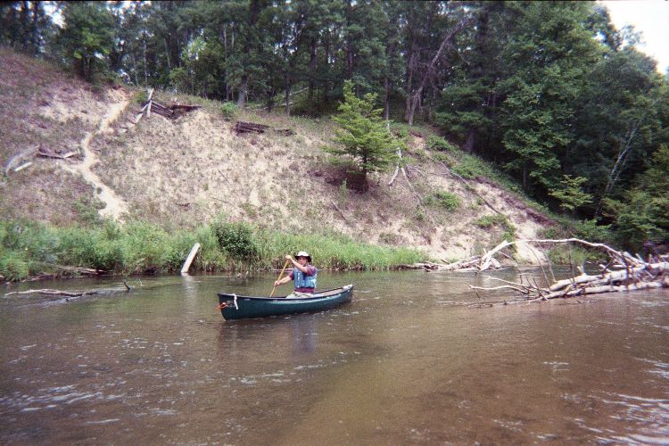
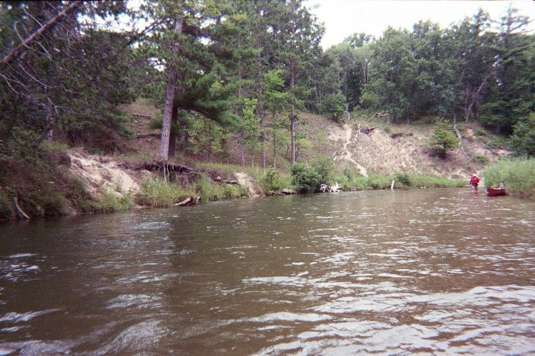
Stream Bank Erosion Site pine-100
Total Severity: Minor
Total Points: 29
Information collected by:
Pine River Watershed,
East Norman Twp,
Manistee County
GPS Coordinates: 44.19904573
, -85.83693034
T21N
R13W
Sec 24
Owned by Federal
Bank Details
Which Bank? Right
Bank Aspect:S
Condition:Toe is undercutting
Erosion Trend:Stable
Percent Veg. Cover: 10-50%
Bank Conditions
Stream Width:50 ft.
Stream Depth:5 ft.
Stream Current:Fast
Eroded Bank Length:500 ft.
Eroded Bank Height:30 ft.
Slope of Eroded Bank:2:1
Texture: Sand
Cause(s) of Erosion
-Foot traffic
Recommended Treatment(s)
-Rock riprap
General Information
Total Points
29
�