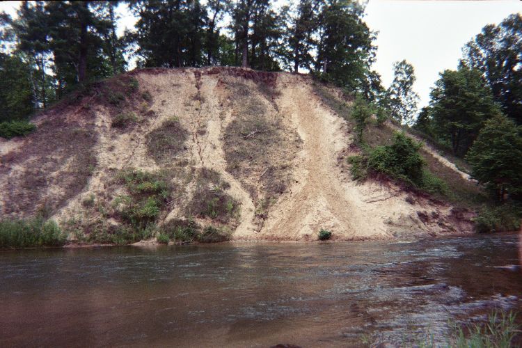
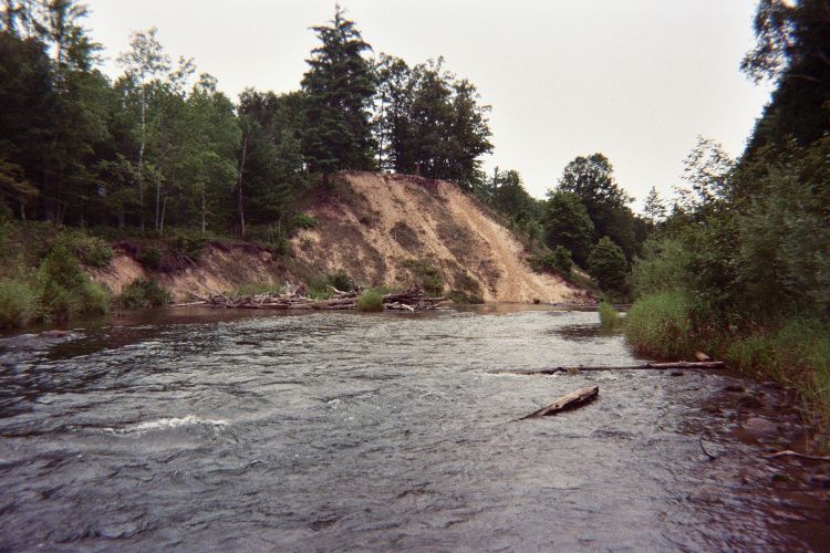
Stream Bank Erosion Site pine-102
Total Severity: Moderate
Total Points: 35
Information collected by:
Pine River Watershed,
East Norman Twp,
Manistee County
GPS Coordinates: 44.19867237
, -85.83854531
T21N
R13W
Sec 24
Owned by Federal
Bank Details
Which Bank? Right
Bank Aspect:S
Condition:Both toe and upper bank eroding
Erosion Trend:Increasing
Percent Veg. Cover: 10-50%
Bank Conditions
Stream Width:60 ft.
Stream Depth:5 ft.
Stream Current:Fast
Eroded Bank Length:450 ft.
Eroded Bank Height:40 ft.
Slope of Eroded Bank:3:1
Texture: Sand
Clay
Gravel
Clay
Gravel
Cause(s) of Erosion
-Bank seepage
-Foot traffic
Recommended Treatment(s)
-Rock riprap
Other Treatments:fencing and brush mulch to discourage foot traffic
General Information
Total Points
35
�