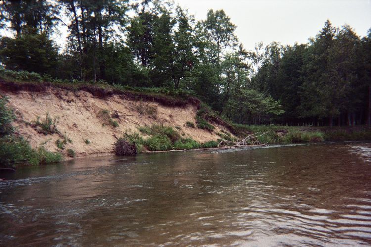
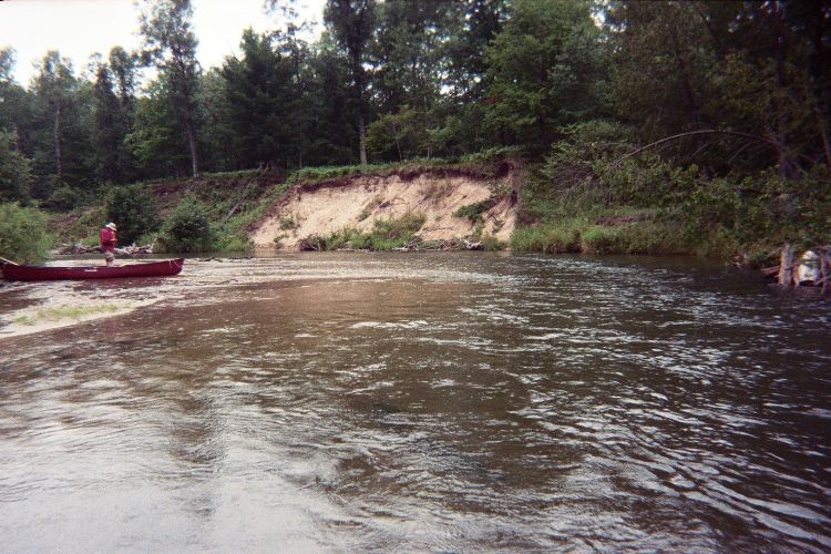
Stream Bank Erosion Site pine-104
Total Severity: Severe
Total Points: 38
Information collected by:
Pine River Watershed,
East Norman Twp,
Manistee County
GPS Coordinates: 44.19900168
, -85.84213543
T21N
R13W
Sec 23
Owned by Federal
Bank Details
Which Bank? Left
Bank Aspect:SE
Condition:Both toe and upper bank eroding
Erosion Trend:Increasing
Percent Veg. Cover: 0-10%
Bank Conditions
Stream Width:60 ft.
Stream Depth:5 ft.
Stream Current:Fast
Eroded Bank Length:80 ft.
Eroded Bank Height:20 ft.
Slope of Eroded Bank:3:1
Texture: Sand
Cause(s) of Erosion
-Bend in river
Recommended Treatment(s)
-Rock riprap
General Information
Total Points
38
�