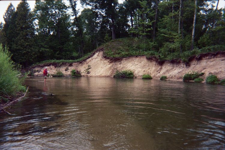
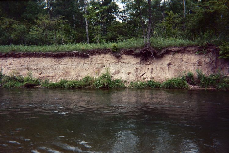
Stream Bank Erosion Site pine-105
Total Severity: Severe
Total Points: 41
Information collected by:
Pine River Watershed,
East Norman Twp,
Manistee County
GPS Coordinates: 44.1999306
, -85.84135607
T21N
R13W
Sec 23
Owned by Federal
Bank Details
Which Bank? Right
Bank Aspect:S
Condition:Both toe and upper bank eroding
Erosion Trend:Increasing
Percent Veg. Cover: 0-10%
Bank Conditions
Stream Width:60 ft.
Stream Depth:4 ft.
Stream Current:Fast
Eroded Bank Length:350 ft.
Eroded Bank Height:20 ft.
Slope of Eroded Bank:4:1 or greater
Texture: Sand
Gravel
Gravel
Cause(s) of Erosion
-Bend in river
Recommended Treatment(s)
-Rock riprap
General Information
Total Points
41
�