Stream Bank Erosion Site pine-003
Total Severity: Moderate
Total Points: 33
Information collected by:
Pine River Watershed,
Leroy Twp,
Osceola County
GPS Coordinates: 44.06225214
, -85.55534312
T19N
R10W
Sec 6
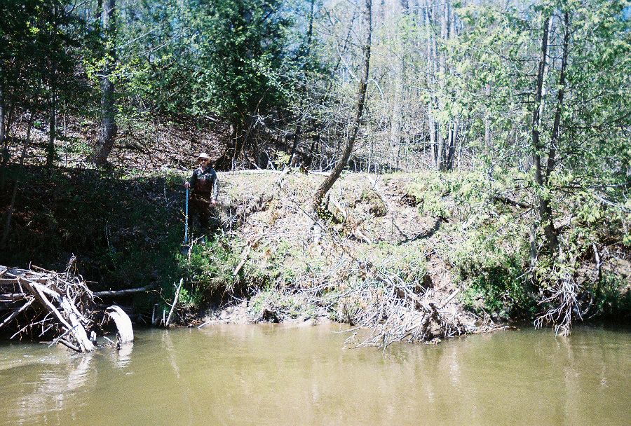
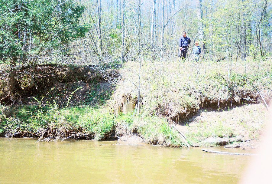
Bank Details
Which Bank? Right
Bank Aspect:NE
Condition:Both toe and upper bank eroding
Erosion Trend:Increasing
Percent Veg. Cover: 10-50%
Bank Conditions
Stream Width:35 ft.
Stream Depth:2 ft.
Stream Current:Slow
Eroded Bank Length:150 ft.
Eroded Bank Height:12 ft.
Slope of Eroded Bank:4:1 or greater
Texture: Sand
Clay
Clay
Cause(s) of Erosion
-Bend in river
-Bank seepage
Other causes: old railroad bed
Recommended Treatment(s)
-Bank revegetation
General Information
Total Points
33
�