Stream Bank Erosion Site pine-008
Total Severity: Minor
Total Points: 29
Information collected by:
Pine River Watershed,
Ellsworth Twp,
Lake County
GPS Coordinates: 44.06165374
, -85.57629005
T19N
R11W
Sec 1
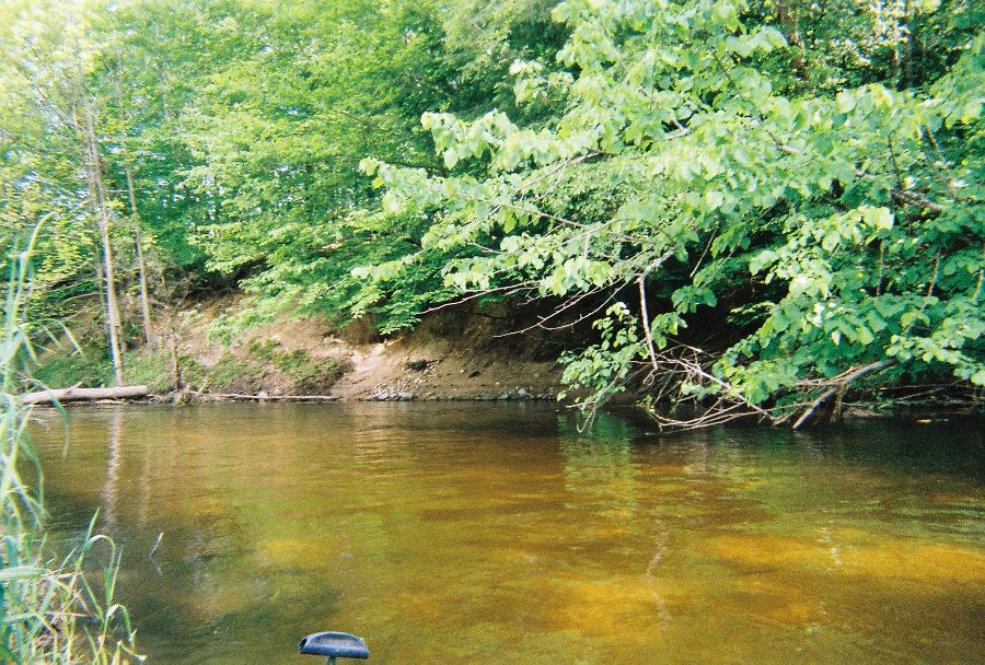
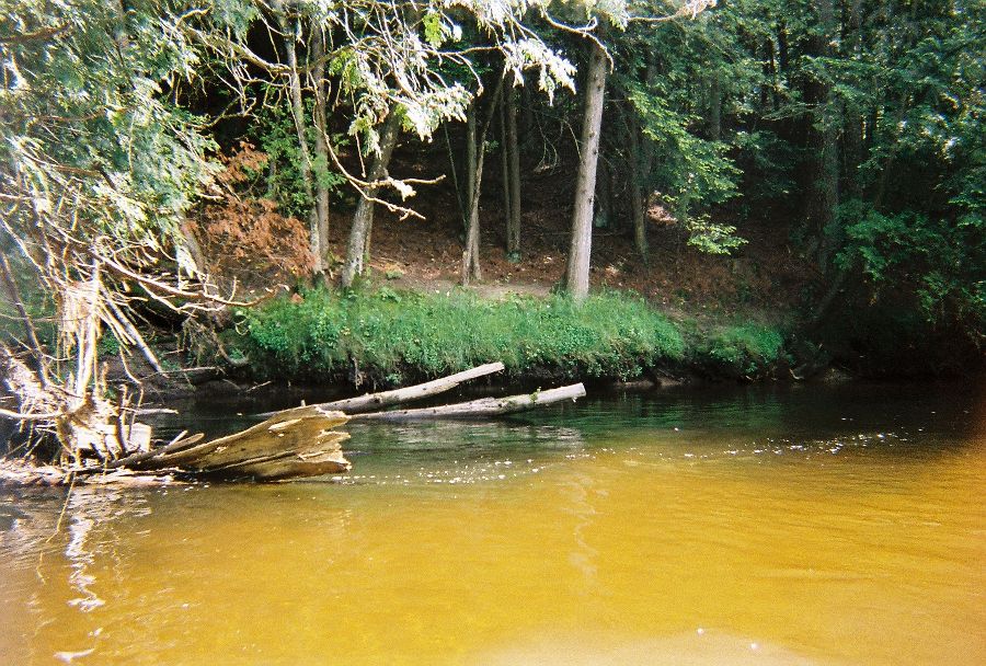
Bank Details
Which Bank? Right
Bank Aspect:W
Condition:Both toe and upper bank eroding
Erosion Trend:Stable
Percent Veg. Cover: 10-50%
Bank Conditions
Stream Width:35 ft.
Stream Depth:5 ft.
Stream Current:Fast
Eroded Bank Length:55 ft.
Eroded Bank Height:35 ft.
Slope of Eroded Bank:3:1
Texture: Clay
Cause(s) of Erosion
Other causes: edge of field
Recommended Treatment(s)
-Bank revegetation
General Information
Total Points
29
�