Stream Bank Erosion Site MAN-67
Total Severity: Minor
Total Points: 27
Information collected by:
Little Manistee River Watershed,
East Stronach Twp,
Manistee County
GPS Coordinates: 44.17588333
, -86.1411
T21N
R15W
Sec 33
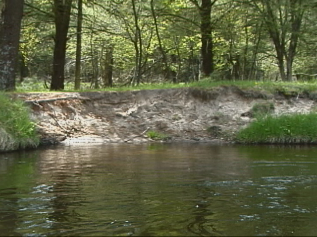
Bank Details
Which Bank? Left
Bank Aspect:NW
Condition:Toe is stable; upper bank eroding
Erosion Trend:Increasing
Percent Veg. Cover: 0-10%
Bank Conditions
Stream Width:75 ft.
Stream Depth:3 ft.
Stream Current:Fast
Eroded Bank Length:40 ft.
Eroded Bank Height:6 ft.
Slope of Eroded Bank:4:1 or greater
Texture: Sand
Cause(s) of Erosion
-Bend in river
-Foot traffic
Recommended Treatment(s)
-Rock riprap
-Tree revetments
Other Treatments:No previous stabilization efforts
General Information
Total Points
27
�