Stream Bank Erosion Site RIF_Rec1
Total Severity: Minor
Total Points: 23
Information collected by:
Rifle River Watershed,
Rifle River Main Branch
Cumming Twp,
Ogemaw County
GPS Coordinates: 44.41556
, -84.03611
R3E
Owned by State
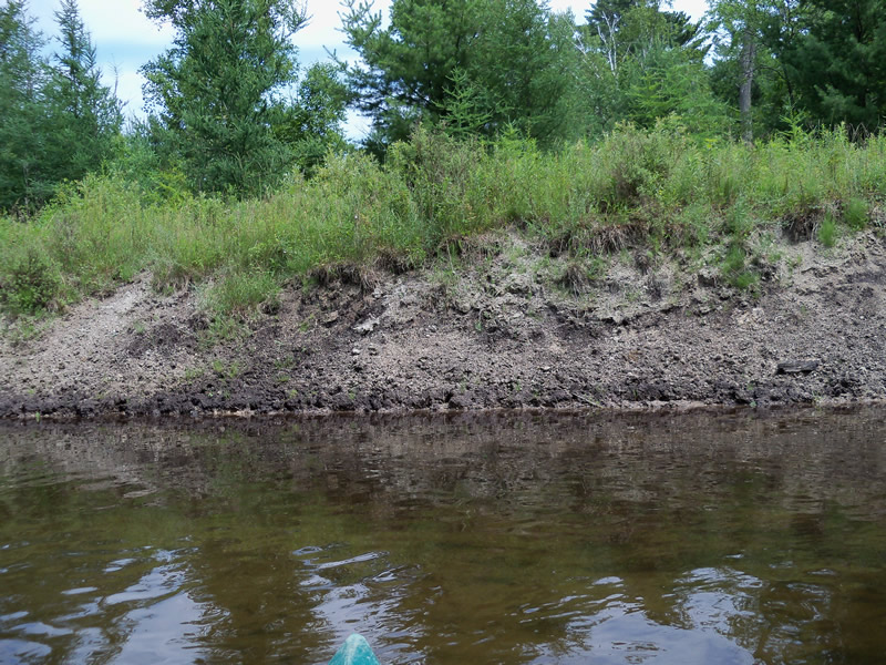
Bank Details
Which Bank? Left
Bank Aspect:SW
Condition:Toe and upper bank are eroding
Erosion Trend:Stable
Percent Veg. Cover: 11-50%
Bank Conditions
Stream Width:20 ft.
Stream Depth:1 ft.
Stream Current:Slow
Eroded Bank Length:200 ft.
Eroded Bank Height:4 ft.
Slope of Eroded Bank:2:1
Texture: Sand
Loam
Loam
Cause(s) of Erosion
-Obstructions in river
Recommended Treatment(s)
-Bank revegetation
-Tree revetments
General Information
Other Bank info:Beaver activity
Total Points
23
�