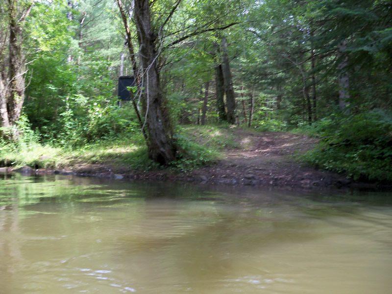
Stream Bank Erosion Site RIF_Rec3
Total Severity: Minor
Total Points: 19
Information collected by:
Rifle River Watershed,
Rifle River Main Branch
Cumming Twp,
Ogemaw County
GPS Coordinates: 44.41056
, -84.0375
R3E
Owned by State
Site Access:Accessible by road
Bank Details
Which Bank? Right
Bank Aspect:SE
Condition:Toe is stable; upper bank eroding
Erosion Trend:Increasing
Percent Veg. Cover: 11-50%
Bank Conditions
Stream Width:25 ft.
Stream Depth:1 ft.
Stream Current:Slow
Eroded Bank Length:12 ft.
Eroded Bank Height:1 ft.
Slope of Eroded Bank:4:1 or flatter
Texture: Stratified
Cause(s) of Erosion
-Foot traffic
Recommended Treatment(s)
Other Treatments:access control, timber/gravel
General Information
Other Bank info:Access
Total Points
19
�