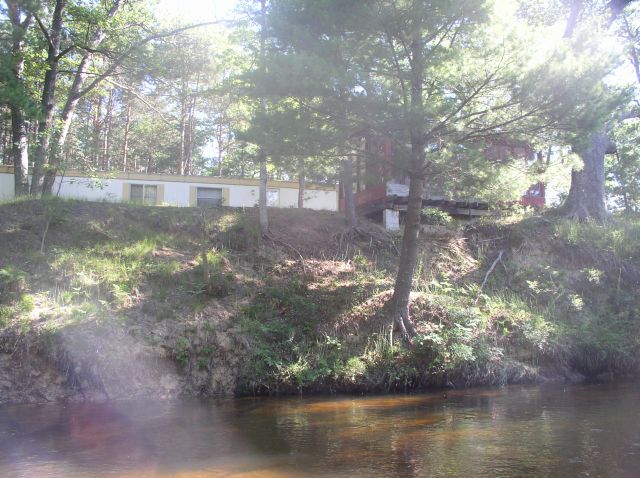
Stream Bank Erosion Site BSR-20
Total Severity: Moderate
Total Points: 32
Information collected by:
Big Sable River Watershed,
Meade Twp,
Mason County
GPS Coordinates: 44.11093
, -86.12377
T20N
R15W
Sec 20
Owned by Private
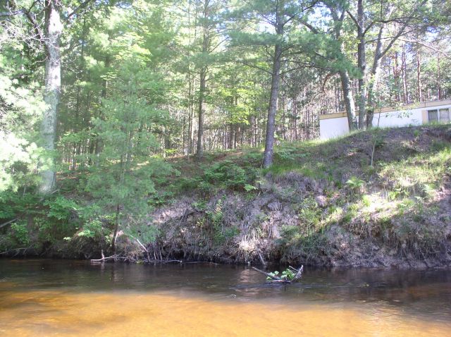
Bank Details
Which Bank? Right
Bank Aspect:SW
Condition:Both toe and upper bank eroding
Erosion Trend:Stable
Percent Veg. Cover: 10-50%
Bank Conditions
Stream Width:35 ft.
Stream Depth:1 ft.
Stream Current:Fast
Eroded Bank Length:100 ft.
Eroded Bank Height:15 ft.
Slope of Eroded Bank:4:1 or greater
Texture: Sand
Cause(s) of Erosion
-Bend in river
Recommended Treatment(s)
-Bank revegetation
-Rock riprap
General Information
Trailer on-site w/small, red, covered overlook
Total Points
32
�