Stream Bank Erosion Site RIF_012
Total Severity: Undefined
Information collected by:
Rifle River Watershed,
Rifle River Main Branch
Cumming Twp,
Ogemaw County
GPS Coordinates: 44.34369
, -84.05878
T23N
R3E
Sec 27
Owned by Private
Site Access:Accessible by road
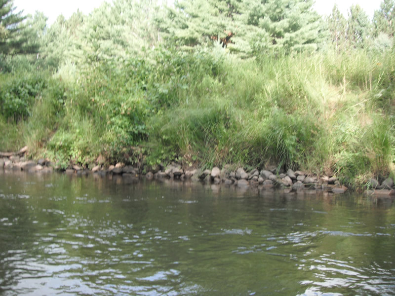
Bank Details
Which Bank? Right
Bank Aspect:E
Bank Conditions
Cause(s) of Erosion
Recommended Treatment(s)
Other Treatments:Fixed with rock riprap
General Information
�