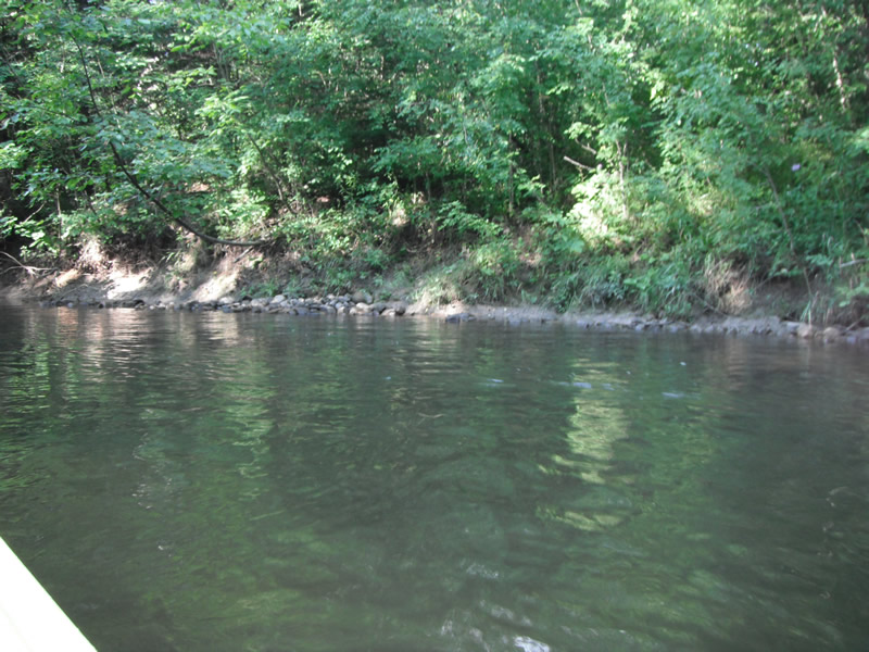
Stream Bank Erosion Site RIF_013
Total Severity: Minor
Total Points: 21
Information collected by:
Rifle River Watershed,
Rifle River Main Branch
Cumming Twp,
Ogemaw County
GPS Coordinates: 44.34229
, -84.05976
T23N
R3E
Sec 34
Owned by State
Site Access:Accessible by road
Bank Details
Which Bank? Right
Bank Aspect:E
Condition:Toe is stable; upper bank eroding
Erosion Trend:Decreasing (Annuals Growing)
Percent Veg. Cover: 51-100%
Bank Conditions
Stream Width:20 ft.
Stream Depth:1 ft.
Stream Current:Slow
Eroded Bank Length:75 ft.
Eroded Bank Height:3 ft.
Slope of Eroded Bank:1:1
Texture: Sand
Cause(s) of Erosion
Recommended Treatment(s)
-Rock riprap
-Cover structure
-Tree revetments
Other Treatments:With downstream section failing, site could benefit from additional structures like brush to curb any future erosion.
General Information
Other Location info:Fixed upstream portion with riprap, failing downstream section
Total Points
21
�