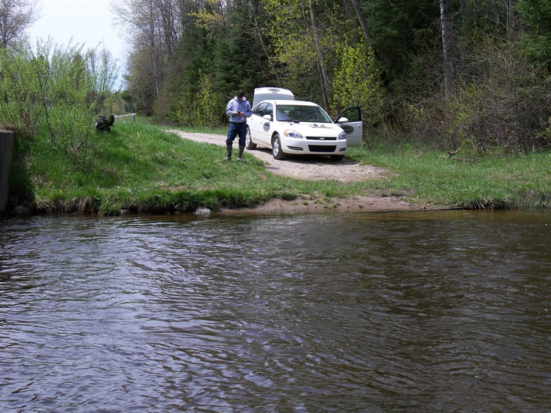
Stream Bank Erosion Site RIF_014
Total Severity: Minor
Total Points: 20
Information collected by:
Rifle River Watershed,
Rifle River Main Branch
Cumming Twp,
Ogemaw County
GPS Coordinates: 44.33485
, -84.06348
T23N
R3E
Sec 34
Owned by State
Site Access:Accessible by road
Bank Details
Which Bank? Right
Bank Aspect:E
Condition:Both toe and upper bank eroding
Erosion Trend:Stable
Percent Veg. Cover: 51-100%
Bank Conditions
Stream Width:60 ft.
Stream Depth:1 ft.
Stream Current:Fast
Eroded Bank Length:42.5 ft.
Eroded Bank Height:1 ft.
Slope of Eroded Bank:4:1 or flatter
Texture: Sand
Silt
Muck
Silt
Muck
Cause(s) of Erosion
-Gullying
-Foot traffic
Other causes: Access point for boats
Recommended Treatment(s)
-Bank revegetation
Other Treatments:Terracing has been implemented-not reducing upperbank erosion
General Information
Other Location info:Previously inventoried ('99), possible restoration since Other Bank info:Some erosion by wing wall of bridge
Total Points
20
�