Stream Bank Erosion Site RIF_018
Total Severity: Undefined
Information collected by:
Rifle River Watershed,
Rifle River Main Branch
Churchill Twp,
Ogemaw County
GPS Coordinates: 44.30901
, -84.06876
T22N
R3E
Sec 9
Owned by Private
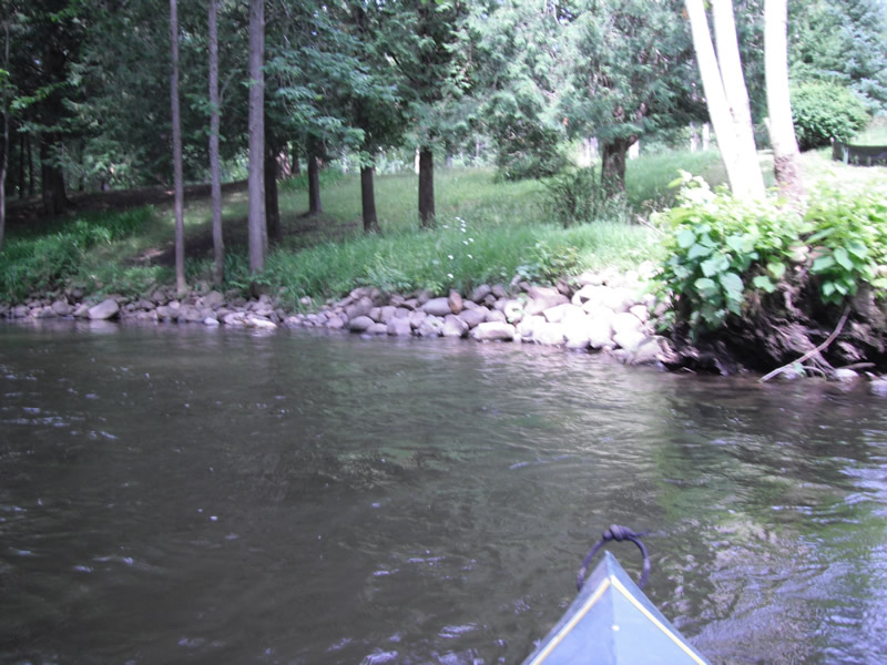
Bank Details
Bank Conditions
Cause(s) of Erosion
Recommended Treatment(s)
Other Treatments:Has been fixed by riprap
General Information
�