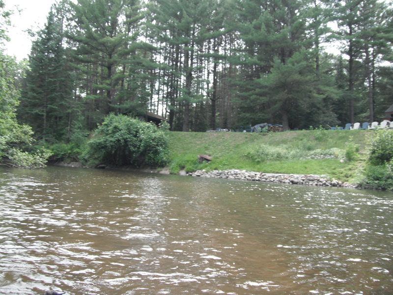
Stream Bank Erosion Site RIF_019
Total Severity: Undefined
Information collected by:
Rifle River Watershed, Rifle River Main Branch
Churchill Twp, Ogemaw County
GPS Coordinates: 44.30185 , -84.07275
T22N R3E Sec 16
Owned by Private
Bank Details
Bank Conditions
Cause(s) of Erosion
Recommended Treatment(s)
General Information
Close this Page
Print
�
Northwest Michigan Watersheds
Northeast Michigan Watersheds
Eastern Upper Peninsula Watersheds
Bear Creek
Betsie River
Big Manistee River
Big Sable River
Boardman River
Carp River
Crooked River
Frontal Lake Michigan Watersheds
Grand Traverese Bay Watersheds
Lake Charlevoix
Lincoln River
Little Manistee River
Little Traverse Bay
Maple River
Muskegon River
Pere Marquette River
Pine River
Platte River
Six Mile Lake
Au Gres River
Au Sable River
Cedar River
Coastal Lake Huron
Pigeon River
Rifle River
Sturgeon River
Tawas River
Thunder Bay River
Upper Black River
Northwest Michigan Counties
Northeast Michgan Counties
Antrim
Benzie
Charlevoix
Emmet
Grand Traverse
Kalkaska
Lake
Leelanau
Manistee
Mason
Missaukee
Newaygo
Oceana
Osceola
Wexford
Alcona
Alpena
Arenac
Cheboygan
Clare
Crawford
Gladwin
Iosco
Montmorency
Ogemaw
Oscoda
Otsego
Presque Isle
Roscommon
Best Management Practices (BMPS)
Evaluation of BMPs
BMP Literature Search
Streambank Stabilization
Road Stream Crossings
Sand Traps
Carp River
Charlotte River
Drummond Island
Gogomain River
Les Cheneaux Islands
Munuscong River
Pine River
Saint Marys River
Waishkey River