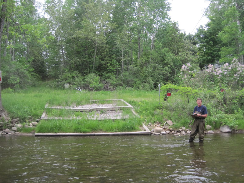
Stream Bank Erosion Site RIF_022
Total Severity: Minor
Total Points: 20
Information collected by:
Rifle River Watershed,
Rifle River Main Branch
Churchill Twp,
Ogemaw County
GPS Coordinates: 44.27708
, -84.07977
T22N
R3E
Sec 21
Owned by State
Site Access:Accessible by road
Bank Details
Which Bank? Right
Bank Aspect:E
Condition:Toe is stable; upper bank eroding
Erosion Trend:Decreasing (Annuals Growing)
Percent Veg. Cover: 51-100%
Bank Conditions
Stream Width:75 ft.
Stream Depth:1 ft.
Stream Current:Fast
Eroded Bank Length:50 ft.
Eroded Bank Height:5 ft.
Slope of Eroded Bank:4:1 or flatter
Texture: Gravel
Cause(s) of Erosion
-Foot traffic
Recommended Treatment(s)
-Bank revegetation
-Constructed access
General Information
Total Points
20
�