Stream Bank Erosion Site RIF_022A
Total Severity: Minor
Total Points: 16
Information collected by:
Rifle River Watershed,
Rifle River Main Branch
Churchill Twp,
Ogemaw County
GPS Coordinates: 44.28306
, -84.08833
T22N
R3E
Site Access:Accessible by road
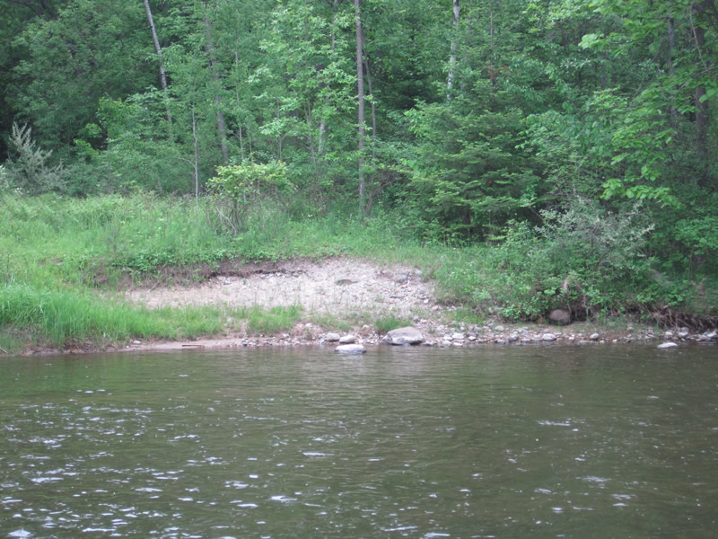
Bank Details
Which Bank? Left
Bank Aspect:W
Condition:Toe is stable; upper bank eroding
Erosion Trend:Stable
Percent Veg. Cover: 11-50%
Bank Conditions
Stream Width:75 ft.
Stream Depth:1 ft.
Stream Current:Slow
Eroded Bank Length:45 ft.
Eroded Bank Height:4 ft.
Slope of Eroded Bank:2:1
Texture: Gravel
Cause(s) of Erosion
-Foot traffic
Recommended Treatment(s)
-Bank revegetation
-Tree revetments
Other Treatments:Minor problem site
General Information
Total Points
16
�