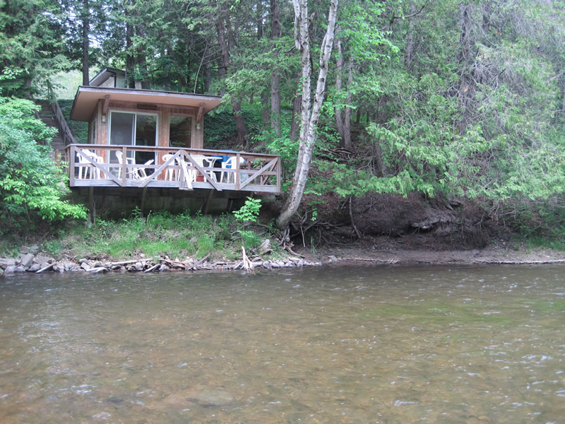
Stream Bank Erosion Site RIF_023
Total Severity: Moderate
Total Points: 33
Information collected by:
Rifle River Watershed,
Rifle River Main Branch
Churchill Twp,
Ogemaw County
GPS Coordinates: 44.27361
, -84.09278
T22N
R3E
Site Access:Accessible by road
Bank Details
Which Bank? Right
Bank Aspect:E
Condition:Toe and upper bank are eroding
Erosion Trend:Increasing
Percent Veg. Cover: 51-100%
Bank Conditions
Stream Width:50 ft.
Stream Depth:2 ft.
Stream Current:Fast
Eroded Bank Length:20 ft.
Eroded Bank Height:15 ft.
Slope of Eroded Bank:1:1
Texture: Sand
Gravel
Gravel
Cause(s) of Erosion
-Bend in river
Recommended Treatment(s)
-Rock riprap
Other Treatments:Tree revetment
General Information
Other Bank info:Problem at high water
Total Points
33
�