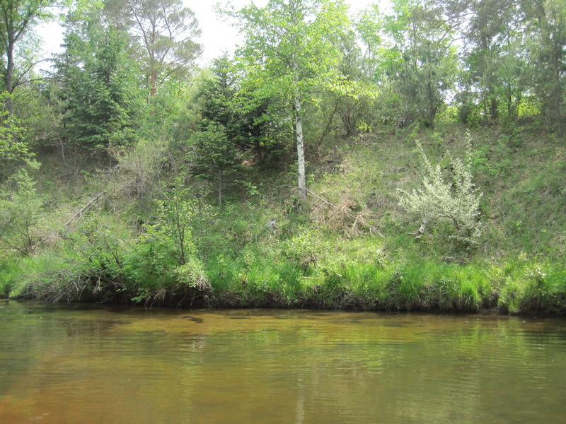
Stream Bank Erosion Site RIF_031
Total Severity: Undefined
Information collected by:
Rifle River Watershed,
Rifle River Main Branch
Churchill Twp,
Ogemaw County
GPS Coordinates: 44.26444
, -84.08278
T22N
R3E
Bank Details
Which Bank? Right
Bank Aspect:E
Bank Conditions
Cause(s) of Erosion
Other causes: Site was worked on and in good condition
Recommended Treatment(s)
Other Treatments:Site was worked on and in good condition
General Information
Other Location info:Site was worked on and in good condition
�