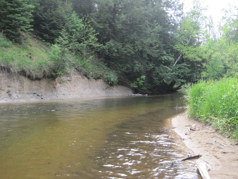
Stream Bank Erosion Site RIF_034
Total Severity: Moderate
Total Points: 34
Information collected by:
Rifle River Watershed,
Rifle River Main Branch
Churchill Twp,
Ogemaw County
GPS Coordinates: 44.26444
, -84.06722
T22N
R3E
Site Access:Accessible by road
Bank Details
Which Bank? Left
Bank Aspect:W
Erosion Trend:Stable
Percent Veg. Cover: 11-50%
Bank Conditions
Stream Width:30 ft.
Stream Depth:3 ft.
Stream Current:Fast
Eroded Bank Length:250 ft.
Eroded Bank Height:50 ft.
Slope of Eroded Bank:1:1
Texture: Sand
Clay
Clay
Cause(s) of Erosion
-Bend in river
Recommended Treatment(s)
-Tree revetments
Other Treatments:tree revetment
General Information
Other Bank info:some erosion at lower end - previous work holding up
Total Points
34
�