Stream Bank Erosion Site RIF_039
Total Severity: Minor
Total Points: 23
Information collected by:
Rifle River Watershed,
Rifle River Main Branch
Churchill Twp,
Ogemaw County
GPS Coordinates: 44.25128
, -84.07049
T22N
R3E
Sec 33
Owned by Private
Site Access:Accessible by road
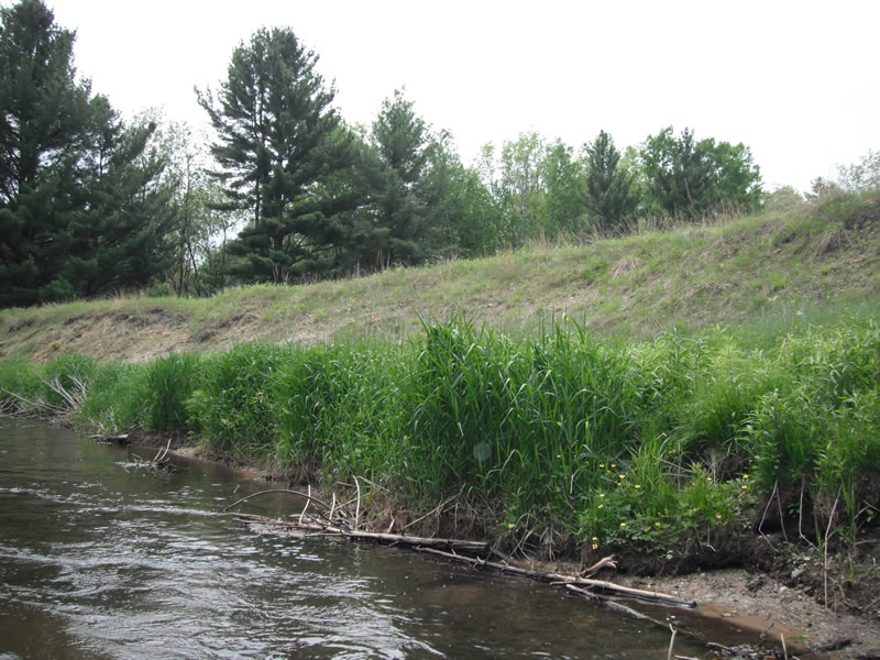
Bank Details
Which Bank? Right
Bank Aspect:E
Condition:Toe is stable; upper bank eroding
Erosion Trend:Decreasing (Annuals Growing)
Percent Veg. Cover: 51-100%
Bank Conditions
Stream Width:45 ft.
Stream Depth:1 ft.
Stream Current:Fast
Eroded Bank Length:200 ft.
Eroded Bank Height:10 ft.
Slope of Eroded Bank:1:1
Texture: Stratified
Cause(s) of Erosion
-Bend in river
-Gullying
Recommended Treatment(s)
-Tree revetments
Other Treatments:Some trees already placed along bank
General Information
Total Points
23
�